We have done all the possible walks in the area, but this one takes the biscuit. Would not recommend it to anyone. Starts out easy and nice, going down and down most of the time. Then the part where we have to leave the easy path and hit a rough trail it all goes to hell from there.
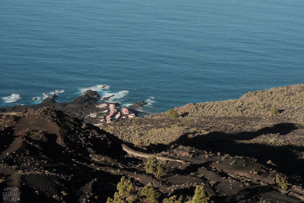
A hamlet on lava rocks
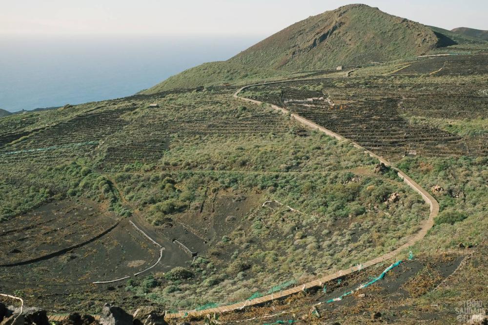
Near vertical vineyards
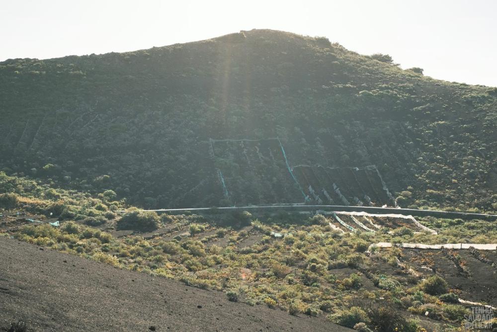
Lots of new vineyards in this area. (Might want to zoom in to read the texts)
That long line that looks like a path through the vineyards is actually an irrigation channel. I've seen photos online of idiots walking on top of it. It's not a walking path!
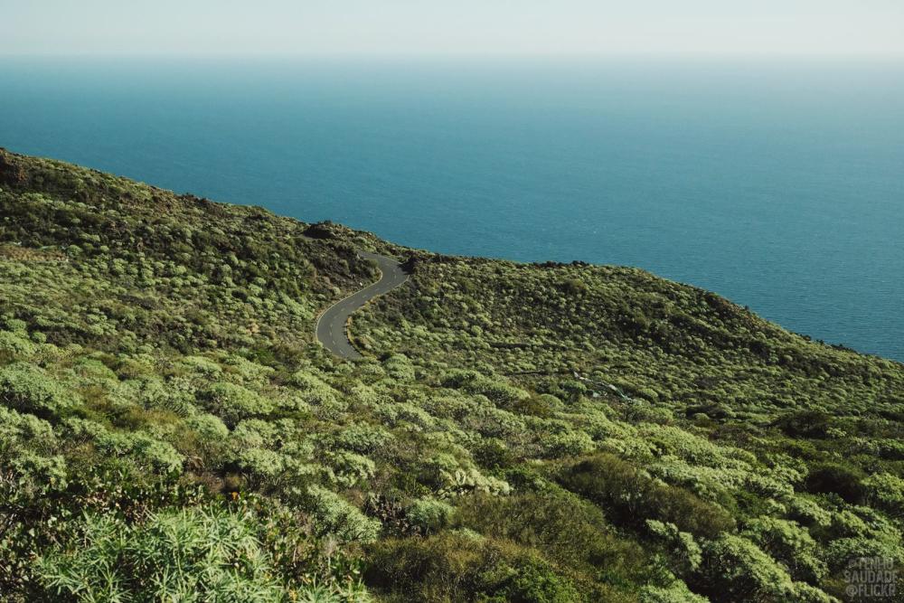
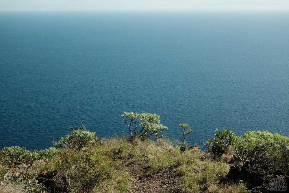
I don't like landscape photography, unless it's some kind of magnificent isolation, without a human face in it. A road through the bad land ("Malpais").
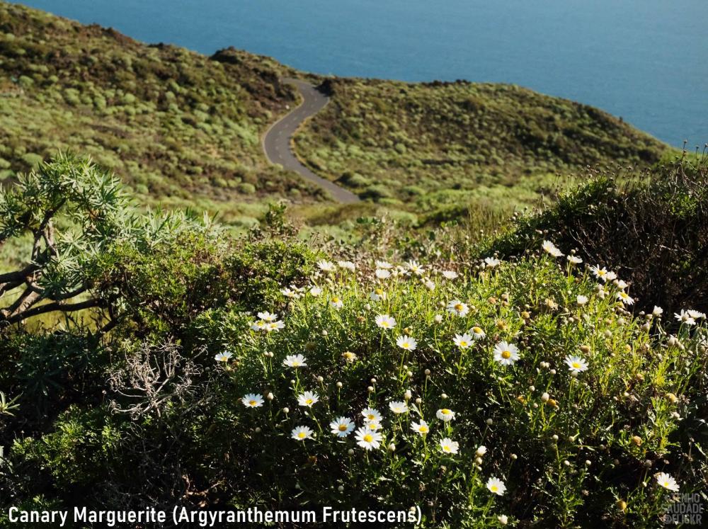
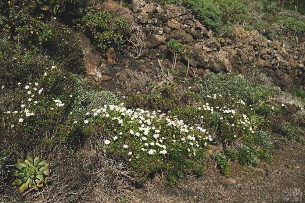
Native to Canary Islands. I buy some other sub species of daisy in the summer, here they grow everywhere like a weed.
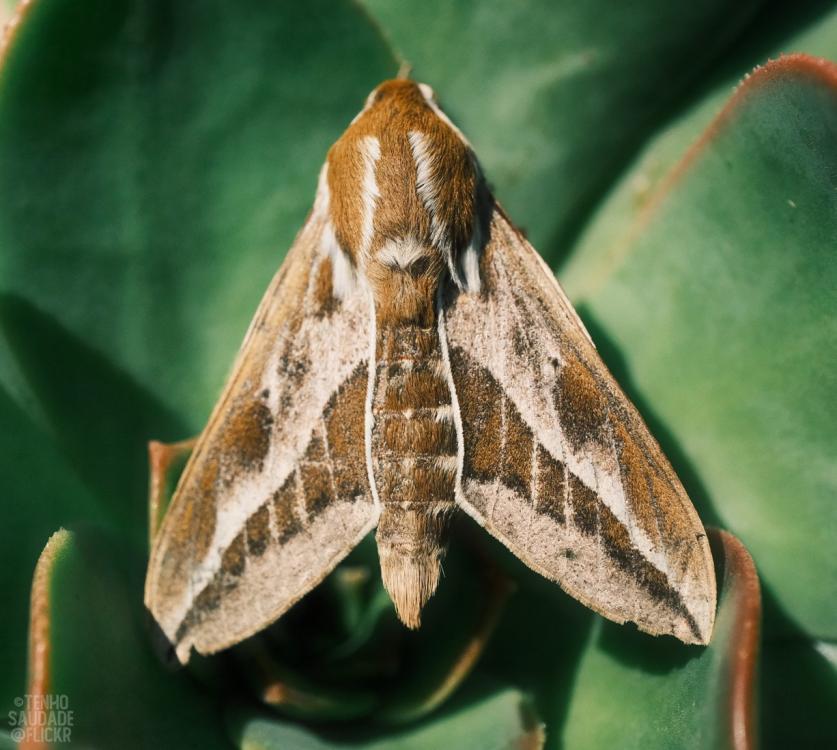
A big hawk moth warming up its wings before taking flight.
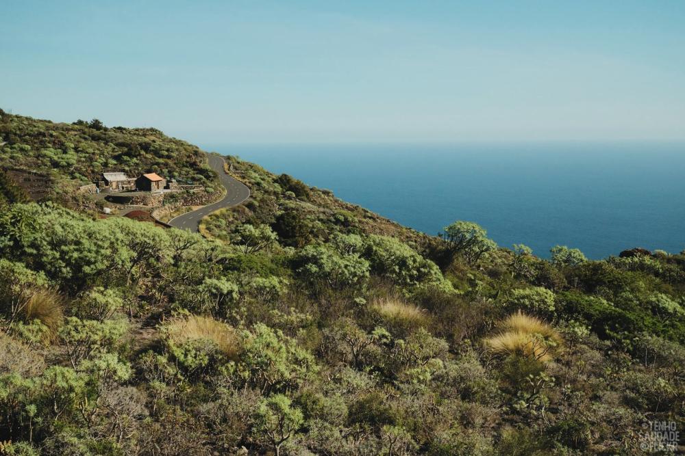
No neighbours
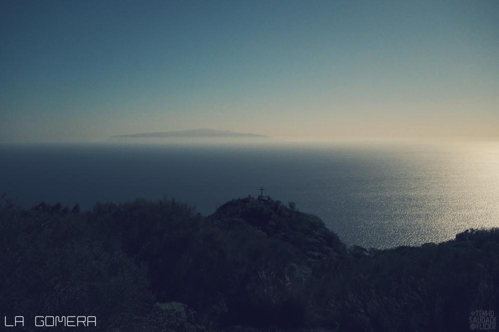
La Gomera island is visible on the horizon. It's between Tenerife and El Hierro, both are also visible.
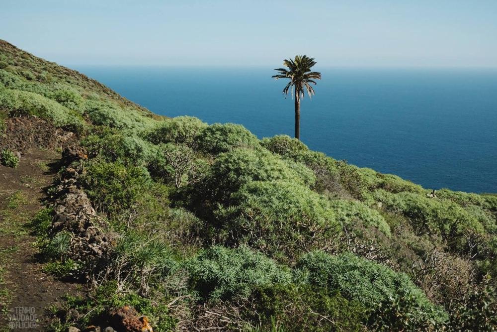
My favourite photo on this walk. Miminalist landscape is my style. (Or minimalist anything, really.)
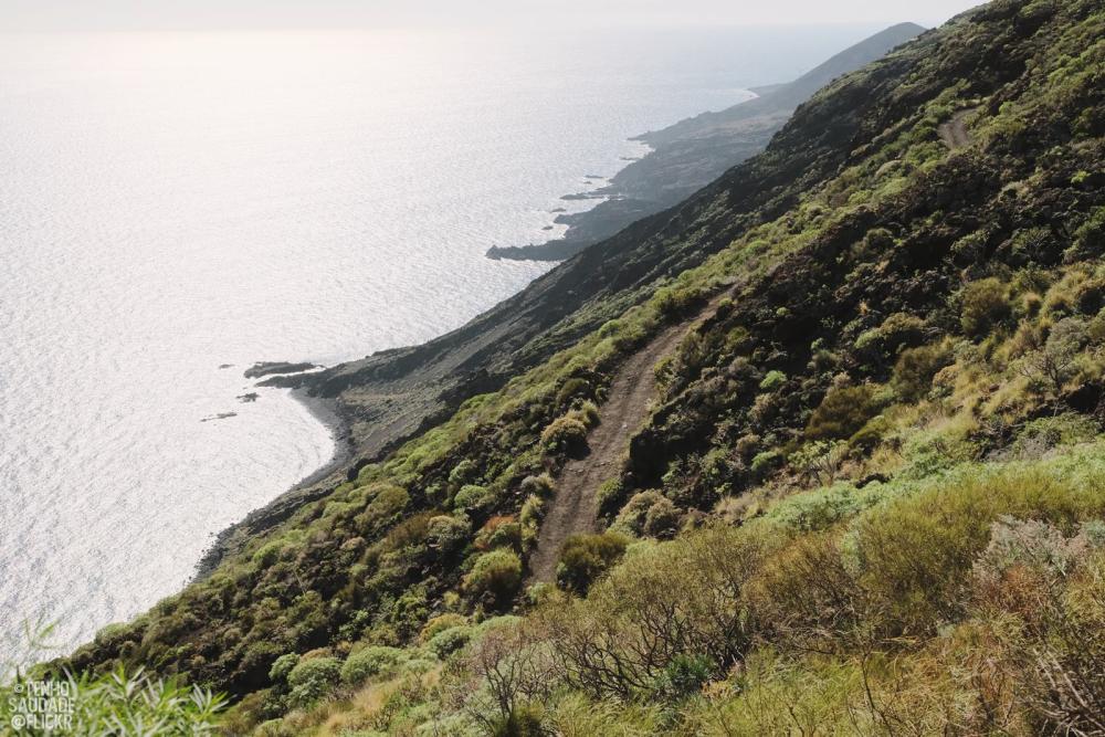
Considering turning back at this point. It gets exceedingly precipitous and rugged with each step. I keep thinking maybe after this point the path will be less dangerous. Vertiginous slope below.
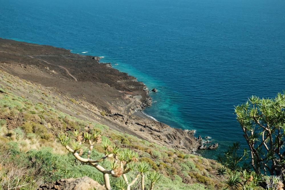
Nope, wrong. That's where the route ends, the black lava way down there. Trail becomes very small and perilous. The wind picks up fast, and no shade anywhere, nothing to grip or hang on to.
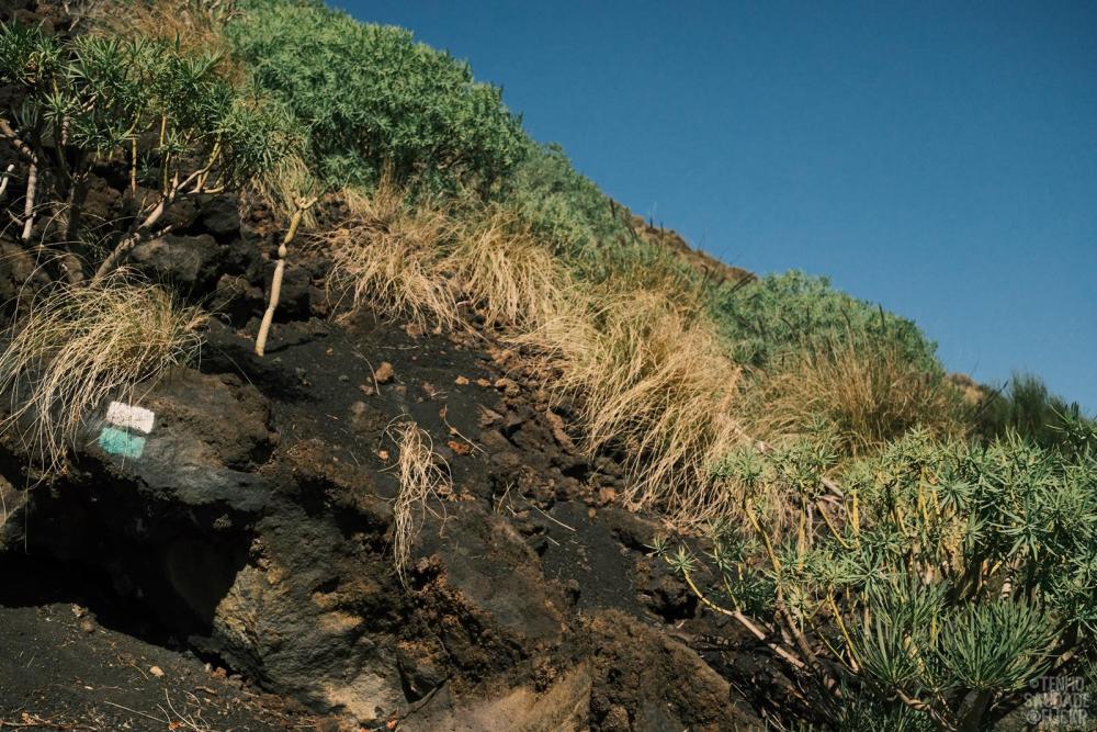
We start to doubt if it's even an official walking route as there's hardly any marking, at least very minimal, or they are faded/hidden from view. Finally, the trail marking. It's an official route after all. All the while seeing no other walker. It's not a popular walk and now we know why.
I abandon all interest in photography here. Put the camera away and concentrate on where I have to put my feet.
It's not worth risking one's life walking this route. We walk 5 hours non stop in the baking sun. But guess what, the worst thing is not the way down, it's that you have to walk all the way back up. No option but to back track as there's no road and no transport. Luckily we remember seeing a path with tyre tracks on it somewhere along the way. We take this path and walk all the way back to the nearest sealed road. Turns out, farmers use this path to reach their farms or where they have beehive boxes. It takes longer than the steep, dangerous trail but we can walk faster without fear.
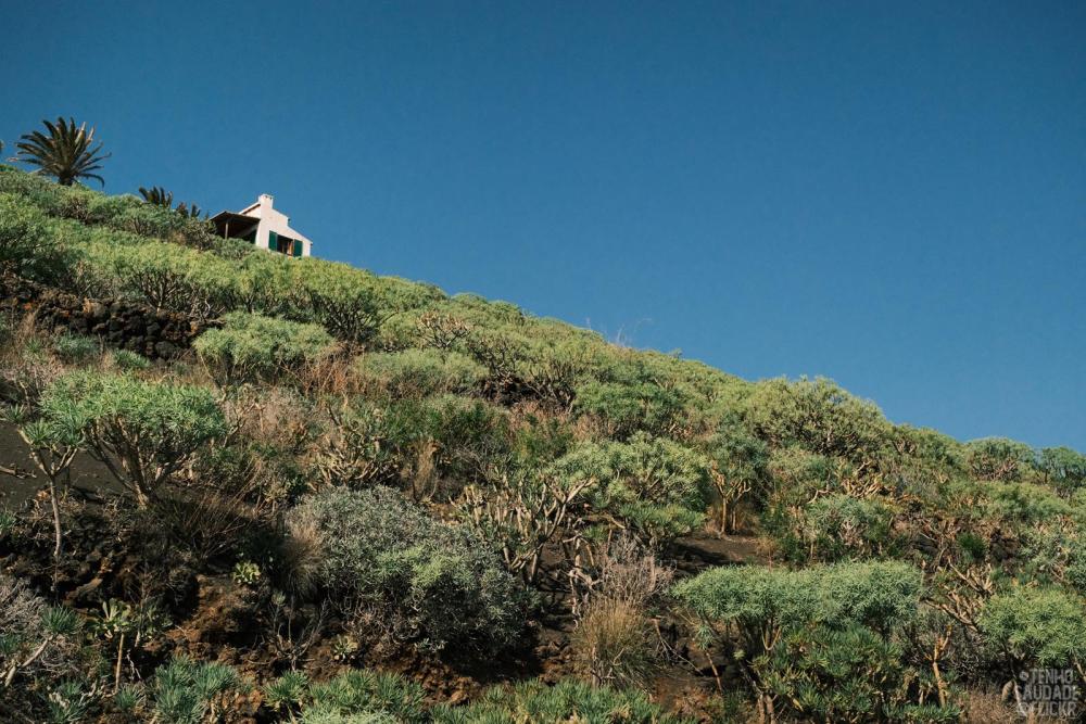
After what seems like a long time we finally see a house. The area is sparsely populated.
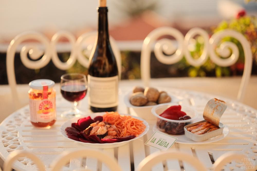
Later we tell the lodging owners about the walk they know it's horrible, too. They are avid walkers themselves and won't walk this route again. Good to have some wine and food to calm our nerves.

Leftover octopus and prawns in mojo picante (spicy sauce). Pickled beetroots/carrots.

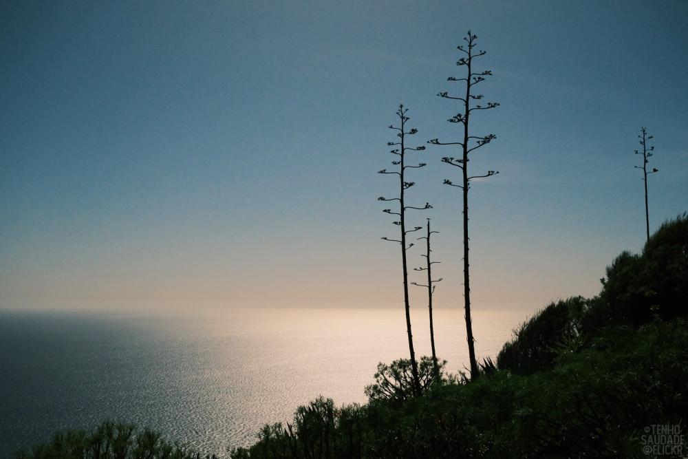
Watching the glorious sun go down